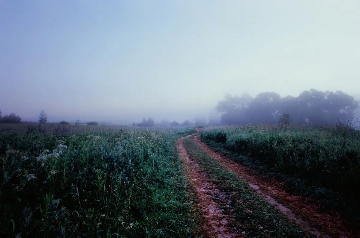
There is a particular kind of hush that settles over a British morning in late autumn. Sound arrives late, hedgerows dissolve into grey, and the car ahead becomes a pair of red smudges. Fog is the most tactile weather we get — you can feel it on your face — and it is also one of the few hazards that forecasters can often spot hours, sometimes a day, ahead.
Why autumn and winter bring the worst visibility
Fog forms when air cools to its dew point — the temperature at which it can no longer hold its moisture as invisible vapour — and the resulting droplets stay suspended rather than falling as rain. Three things make that far more likely between October and February.
The nights are long, so the ground radiates heat away to space for hour after hour and the air resting on it cools from below. The ground is often still damp after autumn rain, so there is plenty of moisture near the surface. And high pressure tends to park itself over the country, bringing light winds and clear skies: exactly the conditions that let cooling happen without turbulence stirring the air.
Wind matters more than most people expect. A light breeze helps spread the cooling through a deeper layer of air, while a stiff wind mixes everything and prevents fog entirely. A dead calm can trap the cooling in a shallow skin near the ground. The sweet spot is a gentle drift, which is why forecasters watch wind speed as closely as temperature.
Radiation fog: the classic dawn blanket
Radiation fog is the fog of weather lore: valley bottoms filled to the brim, a pale sun struggling through, a chill that seeps through coats. It forms overnight, when the ground cools the air above it until that air saturates.
How it behaves through the day
Left alone under a clear sky, radiation fog thickens in the hours before dawn, when temperatures are at their lowest. As the sun rises it usually burns off from the edges, lifting first over ploughed fields and tarmac that warm quickly. On the shortest, weakest days of December and January it may barely shift at all, leaving a grey gloom that persists into the afternoon.
Because cold air drains downhill, a valley or a low-lying stretch of the A1 can be fogbound while a hilltop a mile away sits in sunshine. That local variation catches drivers out every winter.
Advection fog: the stubborn kind
Advection fog is formed by movement rather than stillness. Mild, moist air drifts over a cold surface — a frosted field, a snow-covered hillside, a chilly North Sea — and cools from below until droplets form. Because the wind keeps replacing the cooled air with more of the same, advection fog can be deep, persistent and much harder to shift.
This is the fog that closes airports for hours, rolls onto eastern coasts as haar, and can sit over a city for a day or more without lifting. It can arrive at any time of day and does not need a clear sky or a calm night. If a forecast mentions fog arriving on a light easterly, advection is usually the mechanism.
Freezing fog, hill fog and steaming rivers
Below zero, fog becomes something else entirely. Freezing fog is made of supercooled droplets that stay liquid until they touch a surface, then freeze instantly. The result is rime — a feathered white coating on gates, fences and road signs — and a glazing of ice on untreated roads that can be more treacherous than snow.
Hill fog is simply cloud sitting on the ground. On Dartmoor, the Pennines, the Welsh mountains and the Scottish Highlands it can reduce visibility to a few metres while the valleys below are clear, which is why walkers are advised to carry a map and compass even on a promising morning.
Fog also forms over rivers and lakes on very cold mornings, when cold air passes over relatively warm water and the moisture condenses as it rises. It looks dramatic and stays stubbornly local.
Reading a fog forecast
You do not need a meteorology degree to judge the risk. Look for the combination, not a single number.
- Visibility figures. Mist is generally visibility of one to two kilometres; below one kilometre it is fog. Under 200 metres driving becomes genuinely difficult, and under 50 metres it is dangerous.
- Temperature and dew point. When the forecast dew point sits within a degree or two of the air temperature, saturation is close. A small gap on a calm, clear night is a red flag.
- Wind speed. Light winds favour fog; strong winds break it up.
- Sky and pressure. Clear skies and high pressure overnight encourage cooling. A blanket of cloud acts like a lid and often prevents fog forming.
- Warnings. Yellow and amber warnings for fog are issued when visibility is expected to cause disruption, usually on roads and at airports.
Fog on the move: roads, rails, runways and ports
Nowhere does fog bite harder than in transport. On the roads, the biggest risk is not the fog itself but the speed differential: drivers who can see 30 metres and drivers who have not adjusted end up in the same queue of traffic. Patches are the trap. A stretch of clear road can lull you into normal speed, then close in without warning.
- Use dipped headlights. Full beam reflects back off the droplets and makes matters worse.
- Fog lights are for seriously reduced visibility, generally when you cannot see more than about 100 metres. Switch them off once it clears — a rear fog light left on dazzles the driver behind.
- Leave a bigger gap than usual and always be able to stop within the distance you can see.
- If you must stop, pull well clear of the carriageway, keep your lights on, and stay in the vehicle where it is safe to do so.
- Allow extra time, clear the windscreen inside and out, and demist fully before setting off.
Rail services slow down when signals cannot be seen far enough ahead, and ferries and ports suspend sailings when visibility falls below safe limits. Airports switch to low-visibility procedures, which means aircraft need certified equipment and specially trained crews; if the fog is thick enough, flights divert or cancel. In practice, the message for any traveller is the same: assume delays and check before you leave, not after.
Staying ahead of the murk
Check the forecast for the window you are actually travelling in, not just the day. Fog is often a four-hour problem rather than a twelve-hour one, and the difference between 7am and 10am can be stark. Through the winter, keep a charged phone, warm layers, water and a snack in the car, and tell someone your route if you are heading onto moorland or hills.
Cold, still air can be uncomfortable for people with asthma and other respiratory conditions; if you are unsure how the cold affects you, speak to your GP, nurse or pharmacist. If your journey is essential and the fog is dense, the safest plan is often to wait an hour or take a different route rather than press on.
Fog rewards patience. It is slow weather, and the sensible response is to slow with it.
Photo: Alexey Chudin / Pexels