Wind direction is the most underrated number in a forecast. Most people check the temperature, then the rain, then maybe the wind speed. Direction gets a glance and nothing more. Yet a swing of ninety degrees can turn a mild, drizzly afternoon into a cold, brilliant one with the pressure charts barely changing at all. Two words cover most of those swings: backing and veering. Add a third — fetch — and you can often work out what the next twelve hours will feel like before you look at any forecast at all.
Wind comes from somewhere, not towards somewhere
A westerly blows from the west. A north-easterly arrives off the North Sea, not off the Atlantic. This sounds obvious until you catch yourself reading a forecast arrow as an instruction rather than an origin, and it is the single most common mistake people make with wind.
Direction is usually given in degrees as well as compass points, because twenty or thirty degrees of shift matters at sea and on a hillside. A wind at 250 degrees and one at 290 degrees are both loosely "westerly", but they behave quite differently on the Cumbrian coast.
Backing and veering: the vocabulary of a shift
Veering means the wind is shifting clockwise: south-west to west to north-west, for example. Backing means it is shifting anticlockwise: south-west to south to south-east, or east to north-east to north. These are Northern Hemisphere conventions, and they are the reason a shipping forecast can tell you a great deal in very few words.
The useful part is what each one usually signals:
- Veering often means a cold front has passed or is passing. The air behind it is fresher, showery, and usually clearer.
- Backing often means something is still on its way — an approaching front, or a low-pressure centre tracking to the south of you, pulling colder easterly or northerly air into place.
If you remember nothing else, remember this: veering tends to mean the worst of the rain is behind you, backing tends to mean it is still ahead.
Why the wind shifts at all
Air flows from high pressure towards low, and the Earth's rotation curves that flow. Around a low in the Northern Hemisphere, the circulation runs anticlockwise; around a high, clockwise. Because our depressions generally track eastwards, a fixed spot on the map experiences a fairly predictable sequence as one goes past.
Take a classic low crossing to the north of you. Ahead of the warm front, the wind sits somewhere in the south-east. As the front passes you move into the warm sector and the wind veers south-westerly. Once the cold front clears, it veers again, to west and then north-west, and the air turns noticeably fresher.
Now put the same low to the south of you. The geometry flips. You get an easterly first, backing north-easterly and then northerly, with the coldest air arriving last. So one question — is the low passing north or south of me? — tells you whether the wind will veer or back, and roughly what it will bring.
Fetch: how far the air has travelled
Fetch is the distance of open water or open country that the wind crosses before it reaches you. A long fetch over the Atlantic gives the air time to pick up moisture and to be moderated by the sea surface. A short fetch gives it no such chance.
Two consequences follow. The first is waves: a strong westerly with a fetch of a thousand kilometres builds swell that a wind of the same speed confined to the Irish Sea simply cannot. The second is rain. The same south-westerly that soaks Snowdonia, the Lake District and the western Highlands often leaves East Anglia and the South-East dry, sitting in the rain shadow of the hills it has just crossed.
What each direction means for the UK
- South-westerly — the default setting. Mild, moist and changeable, wettest in the west, driest in the east, warm in summer and mild in winter.
- Westerly — similar, but typically fresher and more showery, with brighter gaps between the bands of rain.
- North-westerly — cool and showery, with sunshine between. Wintry showers over the Scottish hills from autumn onwards.
- Northerly — cold. Often dry and bright inland, but showery down east coasts as the air crosses the North Sea and picks up moisture.
- Easterly — cold and raw in winter, sometimes with snow; in spring and early summer it can bring haar and fret to east coasts, where warm air moves over a still-cold sea.
- Southerly — warm and humid, often cloudy in the west, and capable of heavy, thundery downpours in summer.
- South-easterly and north-easterly — the transition directions, and the ones worth watching closely. A shift into a north-easterly in winter is often the moment snow risk appears in a forecast.
Local effects that override the big picture
Direction at your doorstep is not always direction on the chart. On a sunny spring afternoon, coasts can develop an onshore sea breeze that reverses the regional flow for a few hours. Valleys funnel wind along their length, so a village at one end can be sheltered while the other end is exposed. If you live on a coast or in hill country, treat the regional forecast direction as a starting point rather than a verdict.
Reading a shift in your own forecast
You do not need a meteorology qualification to spot backing and veering. Look at three successive frames on a wind map, or three consecutive forecasts for your area, and watch the arrows rotate. Clockwise is veering; anticlockwise is backing. Then ask where the nearest low is and which side of you it will pass.
From there, think about exposure. Which way does your garden, your allotment, your usual walking route or your local beach face? A spot that is sheltered from a south-westerly can be brutally exposed to a north-easterly, and the temperature you feel will reflect that far more than the number on the app.
Practical habits worth building
Note the wind direction when you go to bed and again when you wake. Within a week or two you will start recognising the patterns — the veer to north-west that clears the rain, the backing to easterly that precedes a cold snap. Listen to the shipping forecast for the sequence of directions in your sea area; it is one of the best free lessons in how weather systems move across the country.
Then apply it. If you garden, a backed easterly in late spring usually means dry air and a need to water, while a veering north-westerly means showers you can probably wait out. If you are heading out on the hills, remember that a strong easterly or northerly in winter feels far colder than the thermometer suggests, so pack for the wind rather than the temperature. If you surf, sail or swim, fetch tells you whether the swell will be worth the trip or whether you are better off in a sheltered bay.
Wind direction is not a footnote to the forecast. It is often the whole story, and a twenty-degree shift you notice early is worth more than any app notification arriving an hour too late.
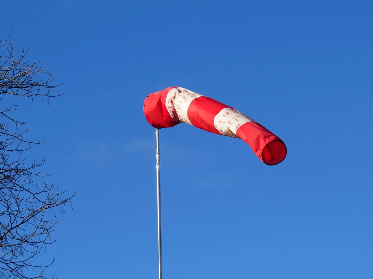
Photo: Hans / Pixabay