British weather rarely respects a plan. You might set off from a coastal car park under a clear blue sky and find yourself leaning into a forty-mile-an-hour gust an hour later, or watching a dark wall of cloud roll in from the west while the picnic still sits uneaten. The difference between a memorable day and a miserable one often comes down to noticing the signs early. This is a checklist you can carry in your head: what to look at, what it means, and when to change course.
Cloud Signals to Watch
Clouds are the most visible part of the forecast. Start with the base height and the shape. Flat, scattered cumulus that look like cotton wool and stay small are the fair-weather kind. When they start to grow vertically, the day is changing.
Towering Cumulus and the Anvil
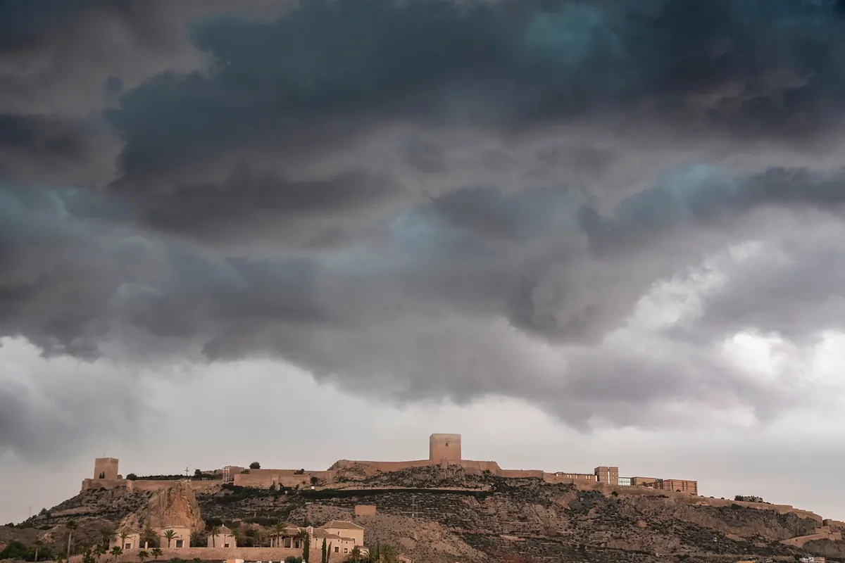
Watch for cumulus that build into cauliflower-like towers. If the tops flatten into an anvil shape — often with a fibrous, wispy edge — you are looking at a cumulonimbus, the cloud that brings thunderstorms, hail and sudden heavy rain. The base will darken and may take on a greenish or bruised look. On a hill, that cloud can be miles away and still move towards you quickly. If you can hear thunder, the storm is close enough to be a risk.
Lenticular and Wave Clouds
Smooth, lens-shaped clouds that sit still while the wind blows are a sign of strong winds at height. They often form over hills and mountains, and they can be a warning that the wind on the ridge is stronger and more gusty than it feels in the valley. If you see them stacking up, expect a buffeting on exposed ground.
Wind: Direction, Strength, and Sudden Shifts
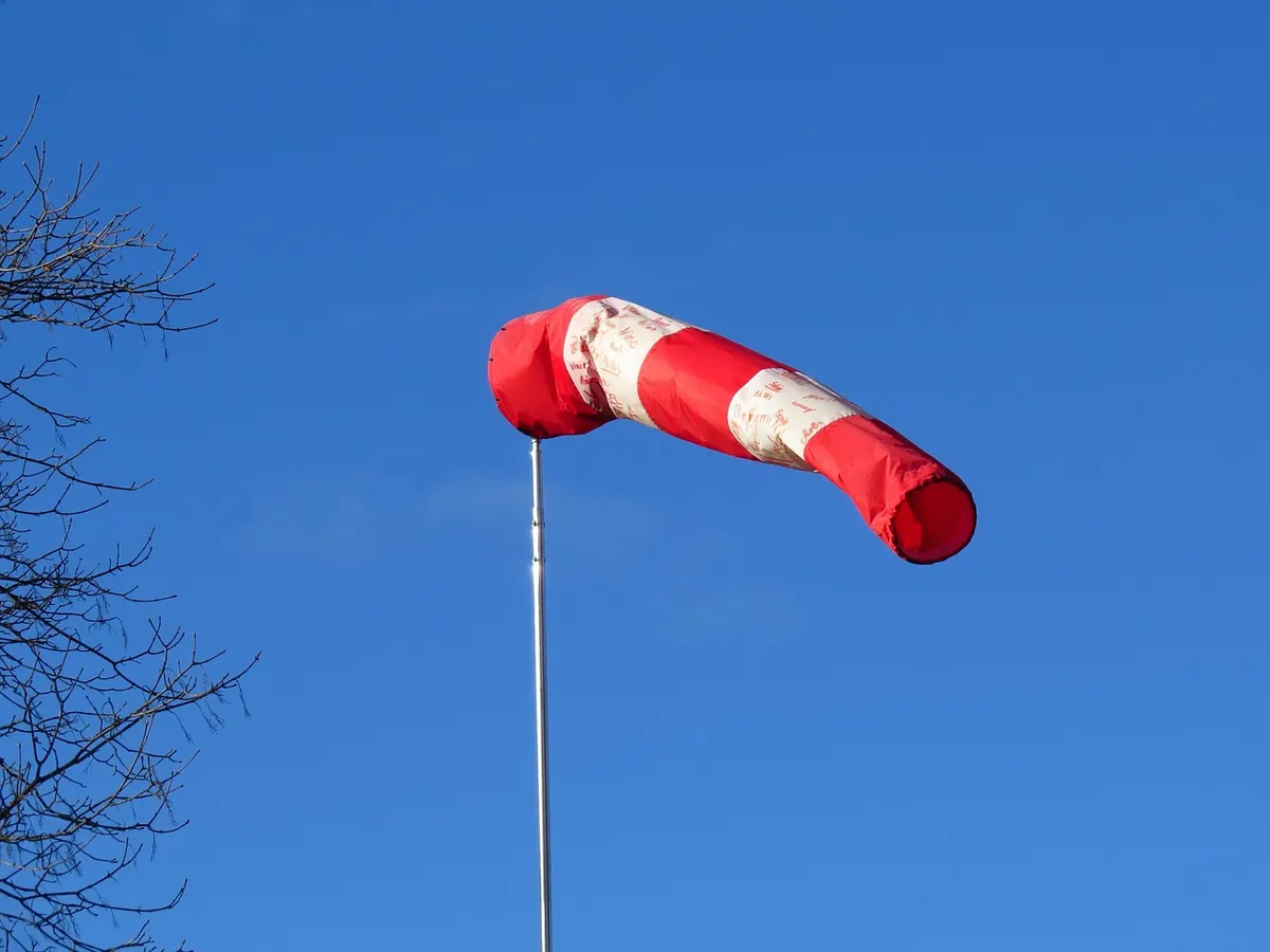
Wind is the engine of most UK severe weather. A steady breeze is one thing; a changing wind is another. Pay attention to direction as well as speed. If the wind backs (changes direction anticlockwise, say from south-west to south) or veers (clockwise, say south-west to west), a front is passing. That often brings a spell of rain and a drop in temperature.
Gusts are the real hazard on high ground. You can often hear them coming in trees or see them rippling across a lake before they hit. On a ridge, a sudden gust can knock you off balance. If the wind is strong enough to make you stagger, it is time to descend or find a lower route.
What the Wind Does to Water
On the coast, look at the sea. Whitecaps appearing on a previously calm surface mean the wind is picking up. If the swell is running against the wind, the sea becomes confused and dangerous. On inland waters, a dark, ruffled patch moving towards you is a gust front. It may arrive with a sudden temperature drop and a burst of rain.
Rain, Hail, and What Falls from the Sky
Rain rarely arrives without warning. The first signs are often a darkening sky to windward and a distant grey curtain. That curtain is a rain shaft. If you can see it, you have time to put on waterproofs or change direction.
Virga and the False Hope
Sometimes you will see streaks of rain falling from a cloud but never reaching the ground. This is virga. It can be a sign of a dry layer below, but it also tells you the cloud is producing precipitation. As the lower air moistens, the rain will start to reach you. Do not assume it will stay dry.
Hail is a step up. If hailstones start to fall, even small ones, you are under a cumulonimbus. Hail can arrive with little warning and can be painful on exposed skin. It also makes paths slippery and can turn a warm day cold in minutes. Look for shelter, but avoid isolated trees.
Temperature and Humidity: The Feel of the Air
Your skin is a useful instrument. A sudden drop in temperature often signals the passage of a cold front. If you have been walking in mild, muggy air and then feel a chill, the weather is changing. That chill may be followed by heavy rain and clearing skies.
Before a thunderstorm, the air can feel close and clammy. You may notice a stillness — the wind drops, birds go quiet, and the temperature feels oddly warm. That calm is not a good sign; it often precedes the storm. If you feel it on a hill, start moving towards lower ground.
Coastal and Hill Specifics
Coasts and hills have their own signals. A sea fret — a cold, damp fog that rolls in from the sea — can appear on a warm day and reduce visibility to a few metres. It often forms when warm air moves over cold water. If you see a low, grey bank offshore, it may be heading your way.
On hills, fog can form quickly as cloud descends. If the cloud base is dropping and you are already in it, navigation becomes difficult. Wind funnelling through valleys can be much
Photo: ELG21 / Pixabay